|
01. Tour:
Z i r l e s e c k |
|
|
|
|
|
|
|
|
|
|
|
|
|
|
|
|
|
|
|
|
|
|
|
|
|
|
|
|
|
 |
|
|
|
|
|
|
|
|
|
|
|
|
|
|
|
|
|
|
|
|
|
|
|
|
|
|
|
|
|
|
|
|
|
|
|
|
|
|
|
|
|
|
|
|
|
|
|
|
|
|
|
|
|
|
|
|
|
|
|
|
|
|
|
|
|
|
|
|
|
|
|
|
|
|
|
|
|
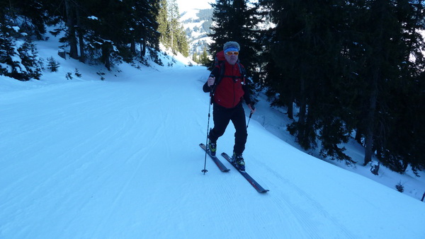
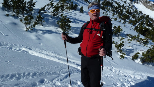
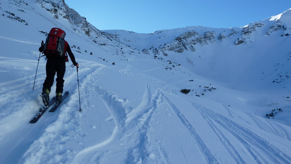
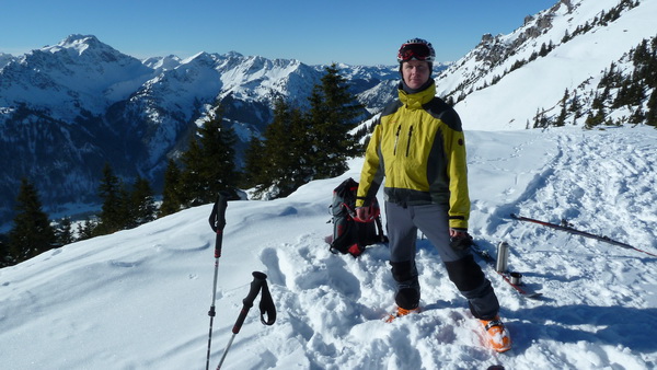
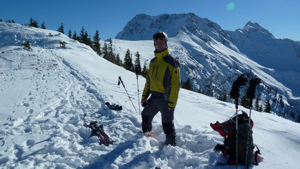
Zirleseck (1872m)
30.01.2011 Tannheimertal
Schwierigkeit:
mittel
Höhenunterschied: 800 m
Dauer: 01:45
Wetter:
heiter -09° C
Ausgangspunkt: Vom Parkplatz am Rohnenlift in Zöblen sind
wir nord- und nordwestseitig, meist mäßig steil, einen Waldweg
ca. 300 Höhenmeter empor gelaufen, bis der Weg flach über die
Piste zur Bergstation führt. Hier quert man flach durch
lichten Wald ins Pontental. Nun im Talgrund hoch, eine
Steilstufe wird links in der Westflanke der Rohnenspitze
überwunden, dann flacher, empor zum schwach ausgeprägten Gipfel.
|
|